|
|
About Altai
|
Article Intro
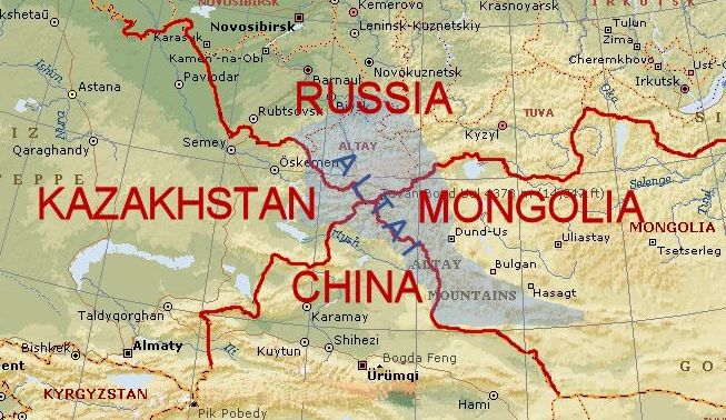
Altai is a very beautiful mountain range which is situated in the middle of Central Asia on the territory of 4 countries – Russia, Mongolia, Kazakhstan and China.
|
The Republic of Altai is situated in the center of Asia at the junction of the Siberian taiga, the steppes of Kazakhstan and the semi-deserts of Mongolia. Forests cover about 25% of the area.
 | |
|
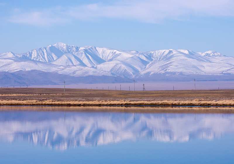
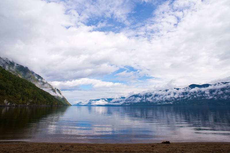
Rivers and lakes
The largest rivers are the Katun and the Biya, both of which originate in the mountains and flow northwards. The confluence of the two rivers eventually forms the Ob River, one of the longest rivers in Siberia, which flows northward to the Arctic Ocean. The Republic includes approximately 7,000 lakes, of which the largest lake is Lake Teletskoye, it is 80 km long and 5 km wide, has an area of 230.8 square km, and a maximum depth of 325 meters. The mountain lakes of Altai contain enormous freshwater reserves of a very pure quality as a result of their distance from most human activity.
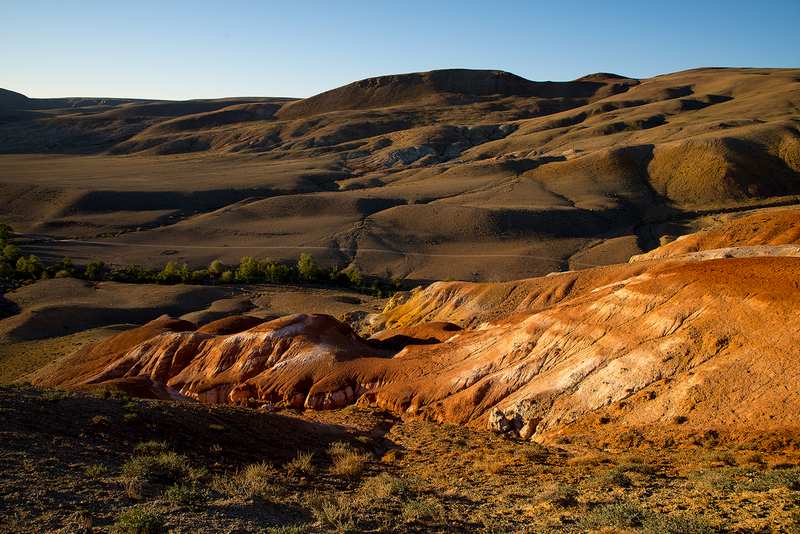
Mountains
The most striking geographical aspect of the Republic of Altai is its mountainous terrain. The Republic is situated within the Russian part of the Altai Mountains. The region continues to experience periodic notable seismic activity. The Republic's highest peak, Mount Belukha (4,506 m), is the highest point in Siberia.
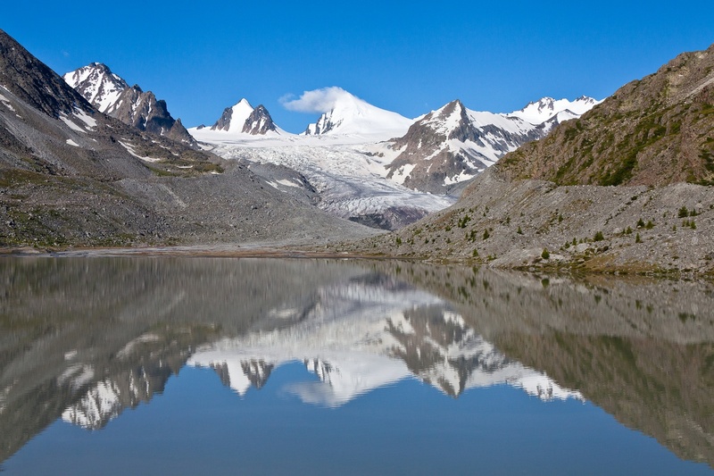
Natural resources
Various bodies of water are among the most important natural resources of the Republic. Mineral and hot springs are popular destinations for tourists and locals, visited for their therapeutic effects. Additionally, Altai glaciers contain a great amount of fresh water. Mineral resources in the region primarily include gold, silver, iron ores, and lithium, in addition to other smaller amounts of minerals.
Climate
The republic has a temperate continental climate with relatively short and hot summers (June–August); and long, cold, and often quite frosty winters (November–March).
In general, the republic's climate of the southeastern areas, is harsher than the climate of the less elevated northern areas.
July temperature range: 11 °C to 30 °C.
To choose a trip to Altai click here
|
|
| | | |